
Hike · Pyrenees
Custom GR10 poster
The Pyrenees from one sea to the other, from Hendaye to Banyuls-sur-Mer: about 920 km, 55,000 m of climbing, seven to nine weeks on foot.
14 stages
- Distance
- about 920 km
- Elevation gain
- about 55,000 m
- Duration
- 7 to 9 weeks
- Season
- mid-June to late September
The GR10 on a poster
The GR10 links the Atlantic to the Mediterranean along the French side of the Pyrenees: Hendaye, the green hills of the Basque Country, the Béarn and the Lescun cirque, the Bigorre with Cauterets and the trail's highest pass at the Hourquette d'Ossoue, then Luchon, the wild Ariège, the Cerdagne, the Canigou and the descent to Banyuls-sur-Mer. Around fifty stages, from gîte to refuge.
On the poster, the crossing reads as a single line from west to east, with the villages and refuges where you actually slept. Walked the GR10 over several summers, only the Basque Country or the Ariège, or cut across on the Haute Route for a few days? Add, remove and move the stages: the map redraws with every change.
If your watch or Strava recorded the walk, import each day's GPX file: the exact track, with every switchback, replaces the approximate line. Refuge names as stops, your start and finish dates as a subtitle, and the wall is waiting.
The stops
The route opens in the editor with these stops already placed. Add the ones you are missing, remove the ones you skipped, change the order: the map redraws with every change.
- 1 Hendaye Hendaye, Pyrénées-Atlantiques, France
- 2 Saint-Jean-Pied-de-Port Saint-Jean-Pied-de-Port, Pyrénées-Atlantiques, France
- 3 Lescun Lescun, Pyrénées-Atlantiques, France
- 4 Gabas Gabas, Laruns, Pyrénées-Atlantiques, France
- 5 Cauterets Cauterets, Hautes-Pyrénées, France
- 6 Luz-Saint-Sauveur Luz-Saint-Sauveur, Hautes-Pyrénées, France
- 7 Vielle-Aure Vielle-Aure, Hautes-Pyrénées, France
- 8 Bagnères-de-Luchon Bagnères-de-Luchon, Haute-Garonne, France
- 9 Aulus-les-Bains Aulus-les-Bains, Ariège, France
- 10 Mérens-les-Vals Mérens-les-Vals, Ariège, France
- 11 Mont-Louis Mont-Louis, Pyrénées-Orientales, France
- 12 Refuge des Cortalets Refuge des Cortalets, Taurinya, Pyrénées-Orientales, France
- 13 Arles-sur-Tech Arles-sur-Tech, Pyrénées-Orientales, France
- 14 Banyuls-sur-Mer Banyuls-sur-Mer, Pyrénées-Orientales, France
Posters already printed
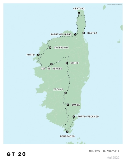
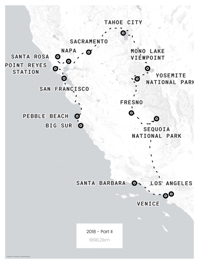
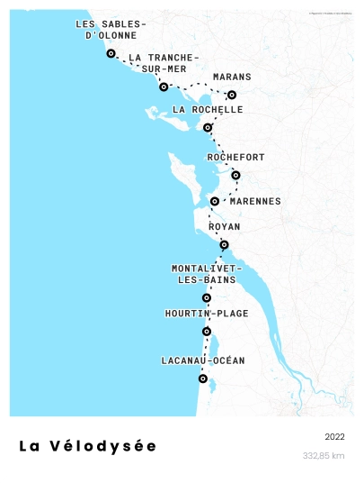
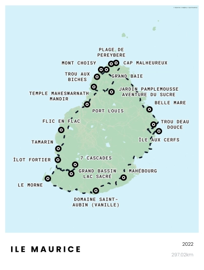
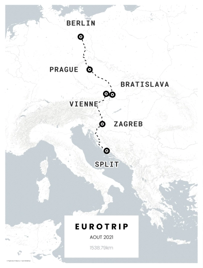
Road trips, hikes, marathons, bike tours: every poster starts from a real journey.

How it works
- 1
Open the route
One click on the button and the map loads with every stop and the line.
- 2
Make it yours
Your own stops, your dates as a subtitle, the map style and colours you like.
- 3
Order without an account
Printed on premium paper, shipped in a rigid tube, free delivery. Or the PDF file, available immediately.
Sizes and prices
Three sizes, three papers, from €43 printed or €20 as a PDF. Free delivery to Europe, the UK, the US and Canada.
See all sizes and papersFrequently asked questions
Can I make a poster of just part of the GR10?
Yes. Keep the stages you walked and remove the others in the editor: the Basque Country from Hendaye to Lescun, the Bigorre from Gabas to Luchon, or the Ariège and Pyrénées-Orientales down to Banyuls. Title and subtitle are free text.
How do I import my GR10 GPX track?
Export each day from Strava, Garmin Connect, Komoot or Visorando as a .gpx file, then drop the files into the editor. The tracks are added one after another on the same map, and the total distance is calculated automatically.
Is it a good gift for someone who walked the GR10?
Seven weeks of walking deserve more than a photo on a phone. If you do not know their exact stages, keep the standard Hendaye to Banyuls route, or give a gift card so they design the poster themselves.
Verified reviews
What our customers say
I ordered a poster of our road trip as a Christmas gift. The quality is great! I'm very happy with the result and would definitely order again.
I ordered a map as a Christmas gift, the customer service was amazing. I wanted to make a correction and they guided me through. My gift was delivered in 4 days, highly recommend! The poster is beautiful!
I ordered a poster of our road trip in Sicily, and I'm thrilled with the result! The poster is gorgeous, very high quality. Customer support is very responsive, which is great! Highly recommend.
Very satisfied with my poster. The quality and delivery times are excellent. The team is super responsive and attentive.
Very well-made poster. Beautiful result! And received earlier than expected.
Very good service, quality poster. I contacted customer support and got a very quick response. Highly recommend.